|
|
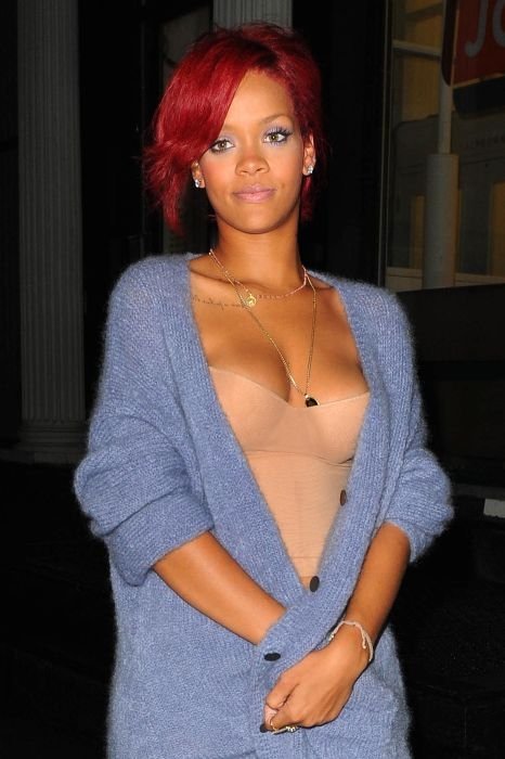
Robyn Rihanna Fenty, What's My Name Music Video Set, Tribeca, Manhattan, New York City, United States
|
In the early 1970s, a couple of years after artists in SoHo were able to legalize their live/work situation, artist and resident organizations in the area to the south, known then as Washington Market or simply the Lower West Side, sought to gain similar zoning status for their neighborhood.
A group of Lispenard Street artist/residents living on Block number 210, directly south of Canal Street between Church Street and Broadway, in an area now part of the landmarked Tribeca Historic District, joined the effort. Just as the members of the SoHo Artists Association called their neighborhood ‘SoHo’ after looking at a City Planning map which marked the area as ‘South of Houston' (city planners had been casually using the word 'SoHo' as well), these Lispenard Street residents likewise employed a City Planning map to describe their block.
Lispenard Street, a single block immediately below Canal Street, is wide on the Church Street side but is narrower at Broadway. Thus, it appears as a triangle on City maps, not like a rectangle as most city blocks are depicted. The Lispenard Street residents decided to name their group the Triangle Below Canal Block Association, and, as activists had done in SoHo, shortened the group’s name to the Tribeca Block Association.
A reporter covering the zoning story for the New York Times came across the block association’s submission to City Planning, and mistakenly assumed that the name Tribeca referred to the entire neighborhood, not just one block. Once the “newspaper of record” began referring to the neighborhood as Tribeca, it stuck. This was related by former resident and councilmember for the area, Kathryn Freed, who was involved in the 1970s Tribeca zoning effort.
|
|


